Developing methods to determine geographic coordinates (e.g. latitude and longitude) of text location descriptions to unlock huge amounts of biological data.
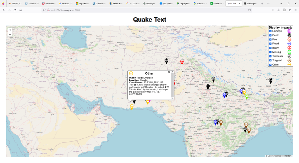
Developing methods to automatically extract and georeference disaster impacts from social media.
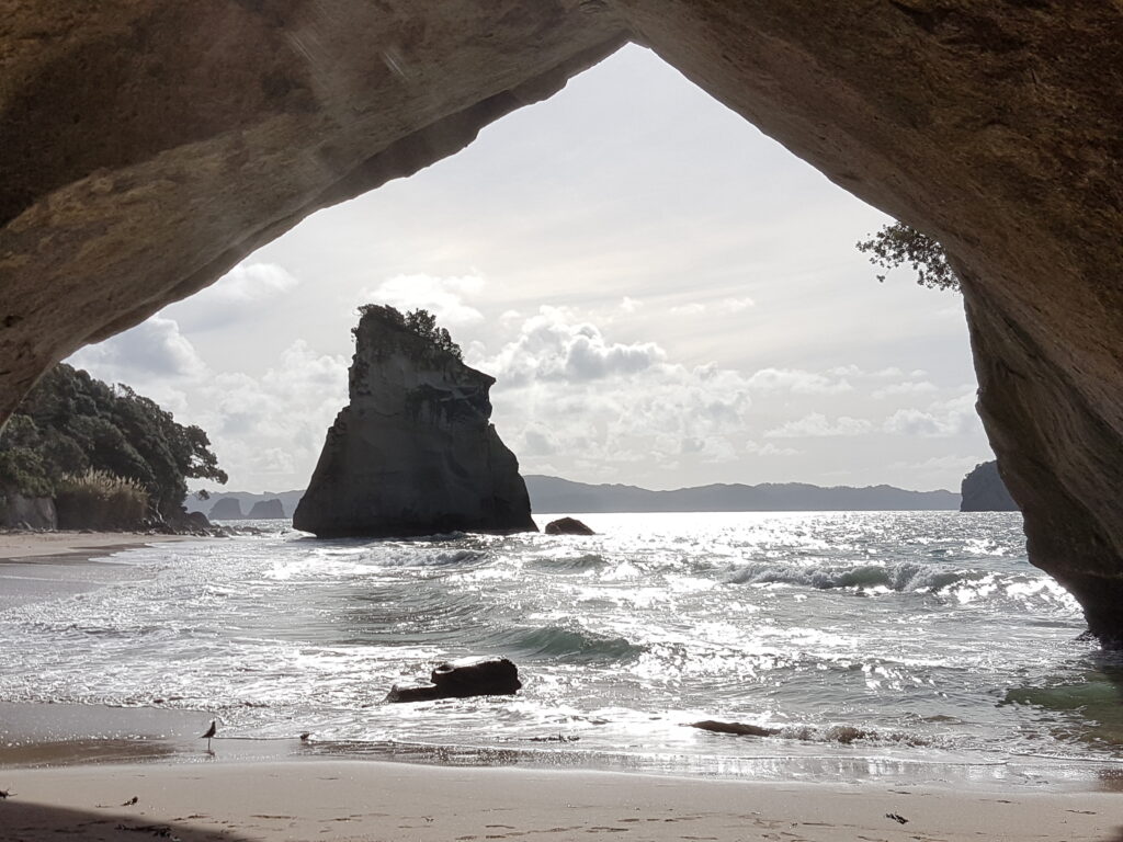
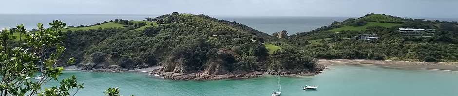
My Favourite Place
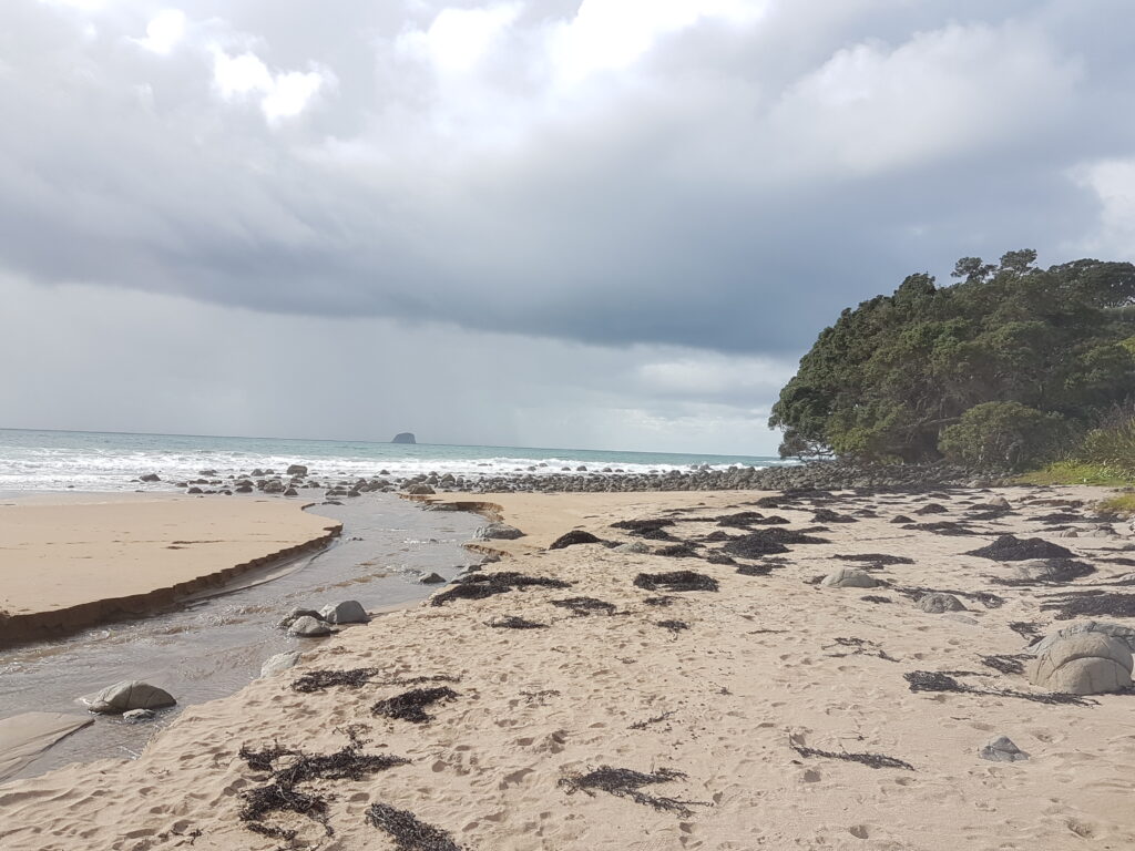
Exploring the characteristics of people’s favourite places in New Zealand.
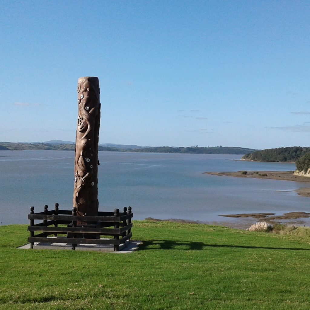
He Tatai Whenua
Implementing a Te Ao Māori landscape classification that can be directly integrated with existing GIS.
Rights-based GIS and Digital Stories
Incorporating Indigenous knowledge or mātauranga Māori into geospatial databases
Te Kawau Tiripou
Developing a system which allows mātauranga Māori to allow Tātau Tātau to expand its capability in contemporary environmental, economic and social decision-making